search
Blank map of France
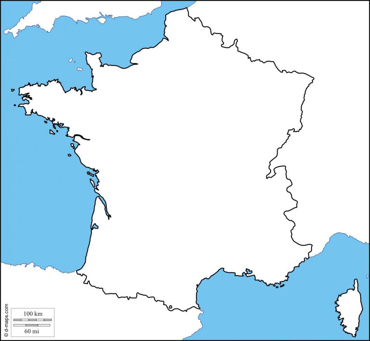
Physical map of France blank. Blank map of France (Western Europe - Europe) to print. Blank map of France (Western Europe - Europe) to download. Total land boundaries of France is 4082.2 km, 2889 km (metropolitan), 1183 km (French Guiana) 10.2 km (Saint Martin) as its shown in the blank map of France. Its border countries boundaries are as follow:Andorra 56.6 km, Belgium 620 km, Germany 451 km, Italy 488 km, Luxembourg 73 km, Monaco 4.4 km, Spain 623 km, Switzerland 573 km (metropolitan), Brazil 673 km, Suriname 510 km, 1183 km (French Guiana), Sint Maarten 10.2 km; (Saint Martin).
France coastline length: 3,427 km (metropolitan), 378 km (French Guiana), 306 km (Guadeloupe), 350 km (Martinique), 207 km (Réunion). Its maritime claims are as follow: Contiguous zone: 24 nmi (44.4 km; 27.6 mi) as its mentioned in the blank map of France. Continental shelf: 200-m depth or to the depth of exploitation. Exclusive economic zone: 200 nmi (370.4 km; 230.2 mi); does not apply to the Mediterranean. France territorial sea: 12 nmi (22.2 km; 13.8 mi).
France is the largest country in Western Europe. The capital city of France is Paris. On the blank map you can see France and the French island Corsica in the Mediterranean Sea. Continental France is slightly smaller than the state of Texas in the USA. It takes a one-hour-flight from London/England to reach Paris via airplane and a flight from Paris to New York/USA takes about 5.5 hours.
These blank maps of France serve as a great help as they help you to do any study or analysis in a very efficient manner. Once you buy these maps, you can use them to trace various demographic locations. You can also use them to label various areas, rivers, and so on. With the help of these maps, you can use them to perform any calculations or analysis.


