search
Sncf map France
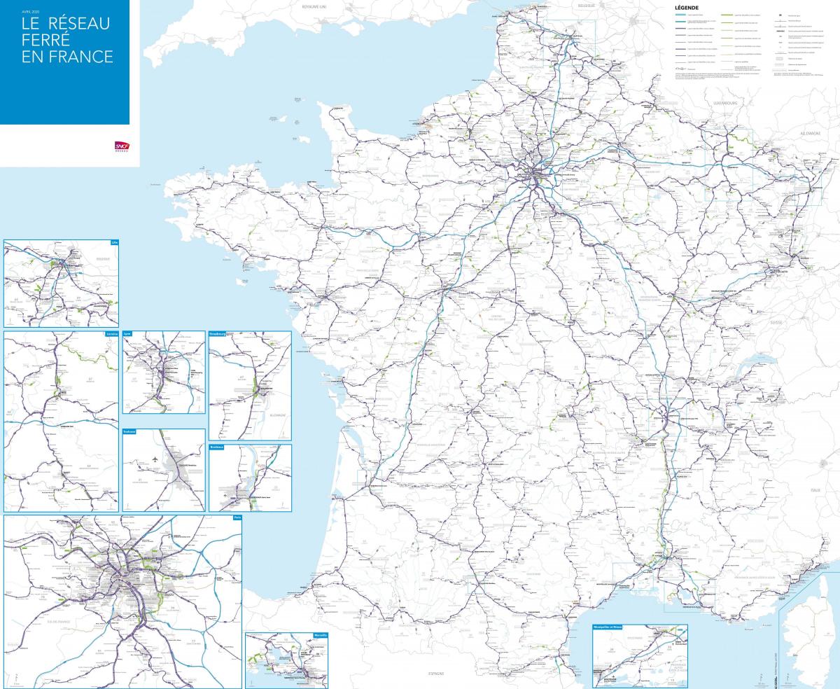
Map of France sncf. Sncf map France (Western Europe - Europe) to print. Sncf map France (Western Europe - Europe) to download. The SNCF (Société Nationale des Chemins de fer français; "National Corporation of French Railways"), is France national state-owned railway company as its shown in sncf map France. SNCF operates the country national rail services, including the TGV, France high-speed rail network. Its functions include operation of rail services for passengers and freight, and maintenance and signalling of rail infrastructure owned by Réseau Ferré de France (RFF).
SNCF employs more than 180,000 people in 120 countries across the globe. The rail network consists of about 32,000 km (20,000 mi) of route, of which 1,800 km (1,100 mi) are high-speed lines and 14,500 km (9,000 mi) electrified. About 14,000 trains are operated daily as its mentioned in sncf map France. The chairman of SNCF is Guillaume Pépy. The company headquarters is in the 14th arrondissement of Paris, in the Rue du Commandant Mouchotte. As of 2010 SNCF was ranked 22nd in France and 214th globally on the Fortune Global 500 list.
SNCF operates almost all of France railway system, including the TGV (Train à Grande Vitesse, meaning "High-Speed Train"), In the 1970s, SNCF began the TGV high-speed train program with the intention of creating the world fastest railway network. It came to fruition in 1981, when the first TGV service, from Paris to Lyon, was inaugurated. Today, SNCF operates 1,850 km (about 1,150 miles) of designated high-speed track that accommodate more than 800 high-speed trains per day as you can see in sncf map France. SNCF TGV trains carry more than 100 million passengers a year. TGV lines and TGV technology are now spread across several European countries in addition to South Korea.


