search
France beach map
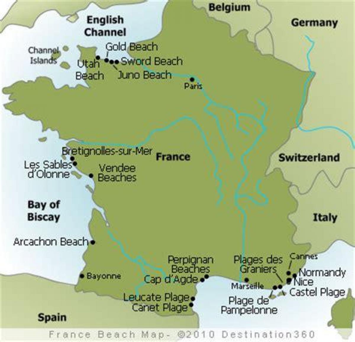
Map of France beach. France beach map (Western Europe - Europe) to print. France beach map (Western Europe - Europe) to download. In July and August, France Mediterranean beaches tend to be pretty packed; this is particularly the case in the famous resorts of Provence and the French Riviera. By contrast, the long sandy beaches of the Languedoc offer much more legroom. Away from the resorts, Brittany offers plenty of good beaches, with the added fun of tides and good waves; and France Atlantic coast, south of the Loire, has plenty of long sandy beaches, in the regions of Poitou-Charentes and Aquitaine. South of Bordeaux, there are mile upon mile of fine beaches as its shown in France beach map.
Located between France and Italy, the island of Corsica feels like it belongs in two nations at once as its mentioned in France beach map. At Porto-Vecchio, on the southern coast facing Italy and the Tyrrhenian Sea, visit Palombaggia Beach for bright, clear water; pink-tinted, rock-free sand; and gentle afternoon breezes. Located along France Alabaster Coast, the pebble beach of Étretat is popular among sailors and surfers. But most visitors come to this stretch of coast in Upper Normandy for one reason: The famous chalk cliffs and arched rock formations. About halfway between Cannes and Nice, Antibes is home to a peninsula that juts out into the sea, maximizing the amount of available warm, sandy, easy-to-walk-on beachfront.
The Saint-Jean-Cap-Ferrat peninsula near Nice is a playground for European elites: there is a Rothschild estate complete with sprawling gardens and a beach named for Paloma Picasso, daughter of the artist Pablo. Though a mere five miles off of the southern French coast, the Île de Porquerolles feels much farther away. The entire island is car-free, which gives all of its beaches a relaxed, casual feel—perfect for toting a picnic and riding a bike. An essential stop on any Brittany road trip, Cap Coz has a string of small beaches that are never crowded as you can see in France beach map. Start walking on the peninsula hiking path along the Breton Riviera, and you will easily see the entire rocky coastline, complete with sheltered bays great for afternoon swims.


