search
Historical map of France
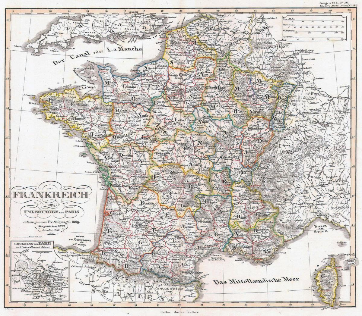
Map of France historical. Historical map of France (Western Europe - Europe) to print. Historical map of France (Western Europe - Europe) to download. In 600 BC, Ionian Greeks, originating from Phocaea, founded the colony of Massalia (present-day Marseille), on the shores of the Mediterranean Sea, making it the oldest city of France as its shown in the historical map of France. At the same time, some Gallic Celtic tribes penetrated some parts of the current territory of France, but this occupation spread in the rest of France only between the 5th and 3rd century BC.
Covering large parts of modern day France, Belgium, northwest Germany and northern Italy, Gaul was inhabited by many Celtic and Belgae tribes whom the Romans referred to as Gauls and who spoke the Gaulish language roughly between the Seine and the Garonne (Gallia Celtica) as its mentioned in the historical map of France. On the lower Garonne the people spoke Aquitanian, an archaic language related to Basque whereas a Belgian language was spoken north of Lutecia. The Celts founded cities such as Lutetia Parisiorum (Paris) and Burdigala (Bordeaux) while the Aquitanians founded Tolosa (Toulouse).
The Goths retired to Toledo in what would become Spain. Clovis made Paris his capital and established the Merovingian Dynasty but his kingdom would not survive his death as you can see in the historical map of France. Under Frankish inheritance traditions, all sons would inherit part of the land, so four kingdoms emerged: centered on Paris, Orléans, Soissons, and Rheims. Over time, the borders and numbers of Frankish kingdoms were fluid and changed frequently. Also during this time, the Mayors of the Palace, originally the chief advisor to the kings, would become the real power in the Frankish lands; the Merovingian kings themselves would be reduced to little more than figureheads.


