search
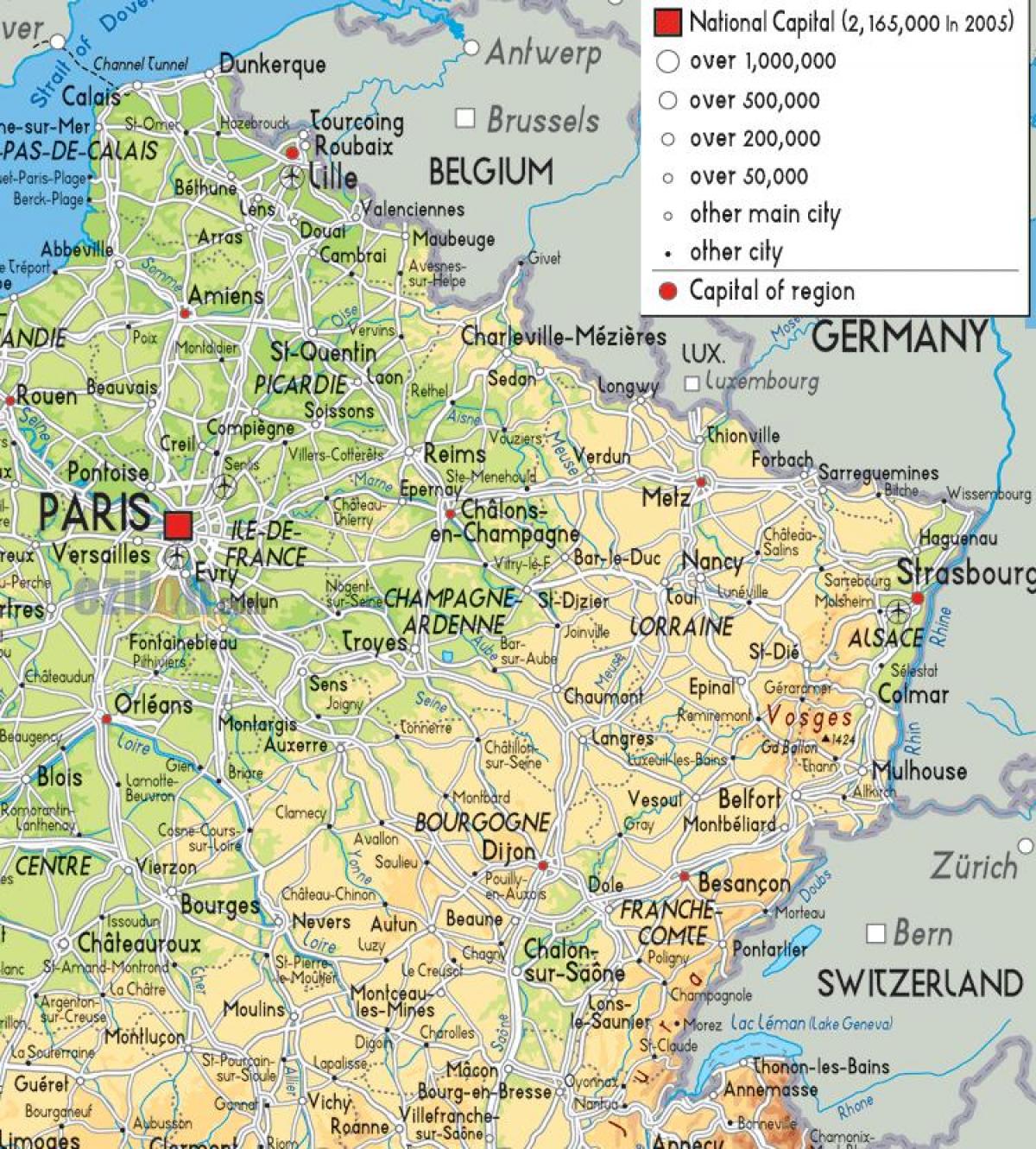
Map of north east France
Map of France north east. Map of north east France (Western Europe - Europe) to print. Map of north east France (Western Europe - Europe) to download. The north east of France is not well known as a tourist region; but it is part of France that is certainly worth considering for short break holidays from south-east England or Belgium. Thanks to the Channel Tunnel as its shown in the map of north east France, you can leave work in the London area, escape from the M25, and two to three hours later find yourself in the deep rolling countryside of the "Pas de Calais" department. From Brussels, it is even nearer.
The real north east corner of France includes the historic regions of Alsace and Lorraine as its mentioned in the map of north east France. This is an attractive part of France with historic cities including Verdun, Metz, Nancy and Strasbourg, plus plenty of large areas of coniferous forests on and near the Vosges mountains (which are quite similar to the Black Forest in Germany). The main cities in north east France are: Amiens (in Picardy), Lille, Dunkerque, Calais, Arras, Valenciennes (in the Nord–Pas-de-Calais region), Charleville-Mézières, Reims (in Champagne-Ardennes), Nancy, Metz (in Lorraine) and Strasbourg and Mulhouse (in Alsace).
When you think of France, Paris will always come to mind as it is a world capital in art, fashion, food, literature, and culture but other places in the north east of France definitely should not be overlooked when planning a trip – especially for those interested in war history and/or champagne. In this region, you will find plenty of champagne vineyards (as you can see in the map of north east France) along wine routes to explore, and with the food and wine industry comes countless festivals to celebrate these joys fo life. This is balanced with the appreciation that this region is also a place of remembrance with museums, monuments, battlefields, and cemeteries for WWI in this area called the Western Front.


