search
France elevation map
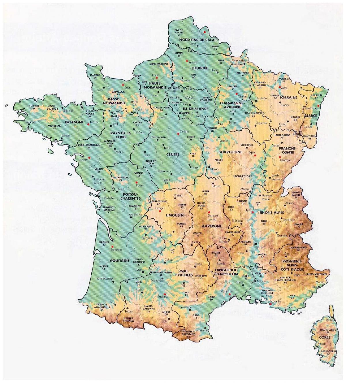
Map of France elevation. France elevation map (Western Europe - Europe) to print. France elevation map (Western Europe - Europe) to download. The mean elevation of France is 375 meters above sea level. Mont Blanc or Monte Bianco (French and Italian, respectively, meaning "Mount White") is the highest mountain in the Alps, Western Europe and the European Union. It rises 4,810 m (15,781 elevation ft) above sea level and is ranked 11th in the world in topographic prominence as its shown in France elevation map. It is also sometimes known as "La Dame Blanche" (French, "the white lady").
The Rhone (French: Rhône, IPA: [ʁon]; German: Rhone; Walliser German: Rotten; Italian: Rodano; Arpitan: Rôno; Occitan: Ròse) is one of the major rivers of Europe, rising in Switzerland and running from there through southeastern France, its is the lowest elevation point in France -2 m as its mentioned in France elevation map. At Arles, near its mouth on the Mediterranean Sea, the river divides into two branches, known as the Great Rhone (French: Grand Rhône) and the Little Rhone (Petit Rhône). The resulting delta constitutes the Camargue region.


