search
France map black and white
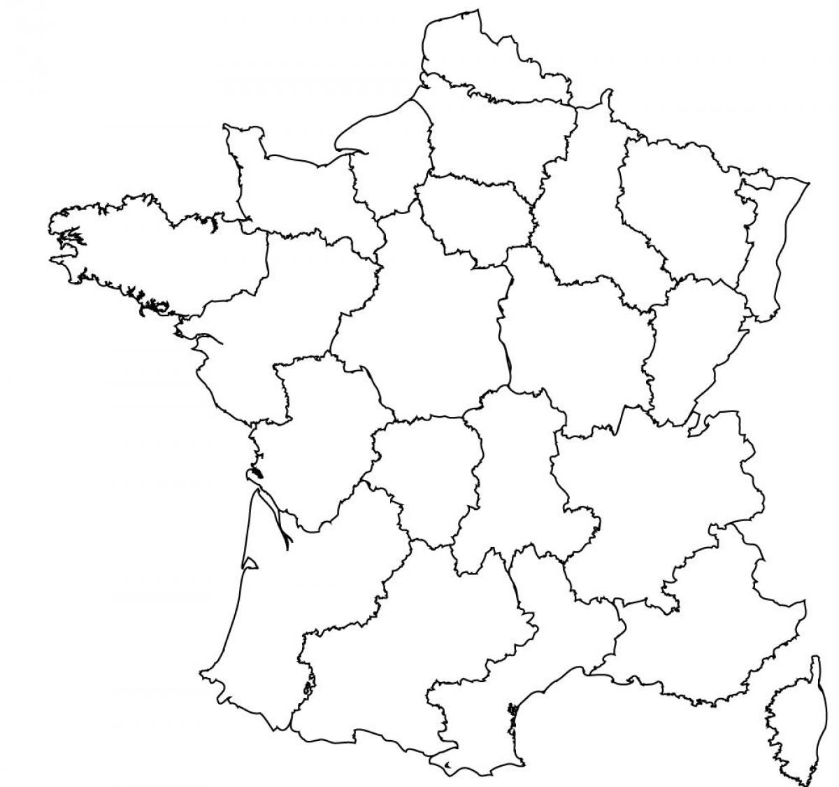
Map of France black and white. France map black and white (Western Europe - Europe) to print. France map black and white (Western Europe - Europe) to download. France map black and white is not detailed. You will be able to spot the outer boundaries. These maps do not depict any detail of the states, cities, or any other boundaries. These maps do not showcase any detail. You can only see the boundaries of the rivers, lakes, or any other location of France. If you wish to study the outline structure of France or for any geographical study, you must use these. These maps are not much detailed.
France different regions as its shown in France map black and white are the following: Auvergne-Rhône-Alpes, Bourgogne-Franche-Comté, Bretagne, Centre-Val de Loire, Corse, Grand Est, Hauts-de-France, Normandie, Nouvelle-Aquitaine, Occitanie, Pays de la Loire, Provence-Alpes-Côte d'Azur, Île-de-France.


