search
France regional train map
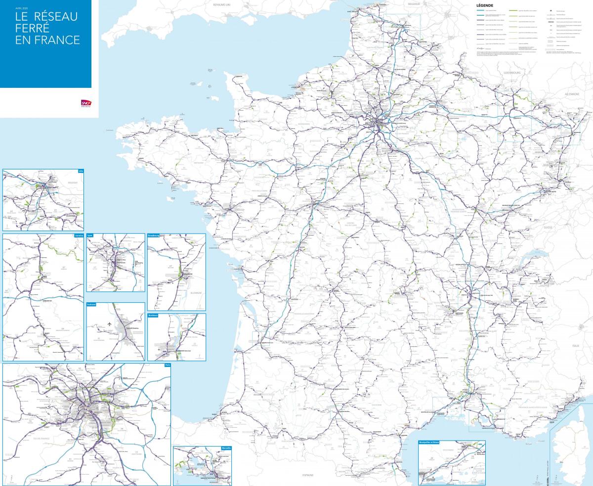
Map of France regional train. France regional train map (Western Europe - Europe) to print. France regional train map (Western Europe - Europe) to download. TER is a train and coach service operated by SNCF and regional governments across France. Each French region has its own regional rail network, which are integrated as part of the larger SNCF national rail system as its shown in France regional train map. This is usually branded as TER (Transport Express Régional), although regional trains in Île-de-France operate under the Transilien brand and regional trains in Corsica operate under the name CFC (Chemins de fer de Corse). While high-speed trains like the TGV are a great way to cover large distances, regional trains are the best way to explore France. They are a safe, comfortable and reliable way explore the regions of France with frequent rail services connecting major towns and cities with smaller towns and villages.
In the environs of large cities like Lyon, Marseille, Nice, Paris and Toulouse these trains operate like suburban railways, particularly in the Île-de-France region; but also connect regional towns and small rural villages as its mentioned in France regional train map. Unlike some high-speed and long-distance trains, reservations are not required to ride regional trains in France. This means that Eurail and Interrail passes can be used on all regional trains without having to pay a reservation fee. TER Alsace is the regional rail network of the Alsace region. Strasbourg is the hub of the network and the most useful lines include the line that connects the three main cities of the region (Strasbourg, Colmar and Mulhouse), the lines linking Strasbourg with Basel in Switzerland and Saarbrücken in Germany and the line connecting Strasbourg with Metz and Nancy in the Lorraine region.


