search
Large map of France
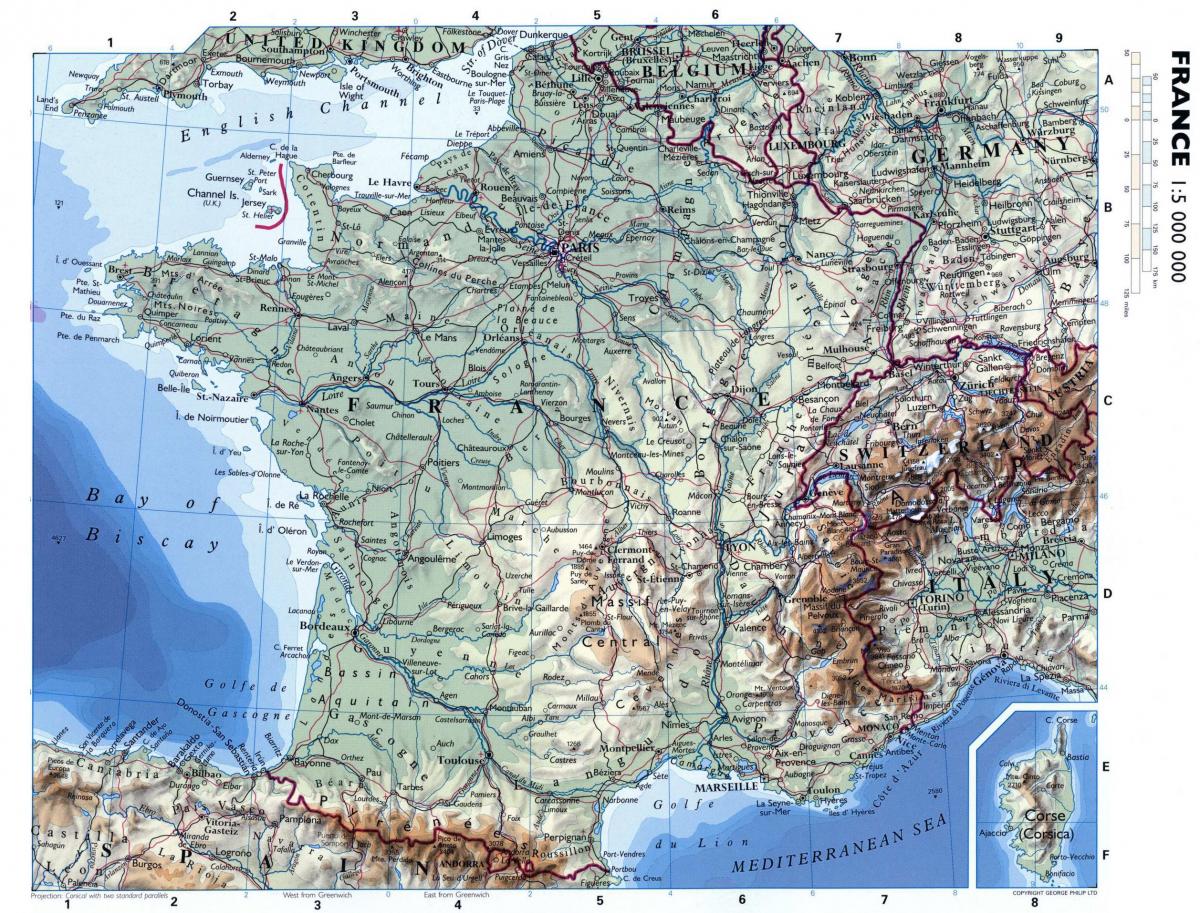
Large map of France with cities. Large map of France (Western Europe - Europe) to print. Large map of France (Western Europe - Europe) to download. For a country of such size, it is surprising that there is only one city proper with a population exceeding 1 million as its shown in the large map of France. The largest cities in France include: Paris (2.2 million) The wider Paris urban area had a population of over 12.1 million in 2013. Marseille (853,000) While it's the second largest city in France, it has the third largest urban and metropolitan area with a population of 1.6 million. Lyon (484,000) Including suburbs and satellite towns, Lyon is the most populous area of France with a population of 1.7 million. Toulouse (449,000) This is the fourth largest metropolitan area of France with a population of 1.2 million.
Paris, the capital of France, is watered by the Seine River. One of Europe largest cities, Paris and its suburbs are also France most populous urban area with 12,292,895 inhabitants (2011 census). Marseille as its mentioned in the large map of France is located on France south coast and is the country largest port for commerce, freight and cruise ships. Marseille was known to the ancient Greeks and Romans as Massalia. Lyon is a major tourist site with its old town (Vieux-Lyon, Presqu’Île) and a Unesco-World Heritage site. Founded by the Romans, Lyon grew where the Rhône and the Saône meet. Located in the south-west of France, Toulouse has been affectionally nicknamed by the locals as the “Pink City” because it is mainly built from clay bricks.


